|
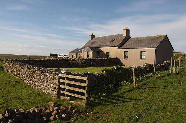
Most of the settlements on Unst are on the South and East of the island. No doubt it made sense to settle where there were sheltered inlets and the land was relatively flat. Much of the north-west side has little shelter and generally a rather steep sided, hilly profile.So, as you pack for your walk up the west side, take this into account. Perhaps a few extra sandwiches; you won't have the luxury of stopping at a local shop. Will your waterproofs cope with the rain driving onto the shore? Can your walking boots cope with the rough terrain? Will the small dog or child throw a wobbly and refuse to continue unless they are carried?Anyway, the first half of the journey follows the populated southern part of Unst and then a fair bit of the west that is protected by nearby Yell.So, make your way to Sandwick beach and turn right to get started. |
|
|
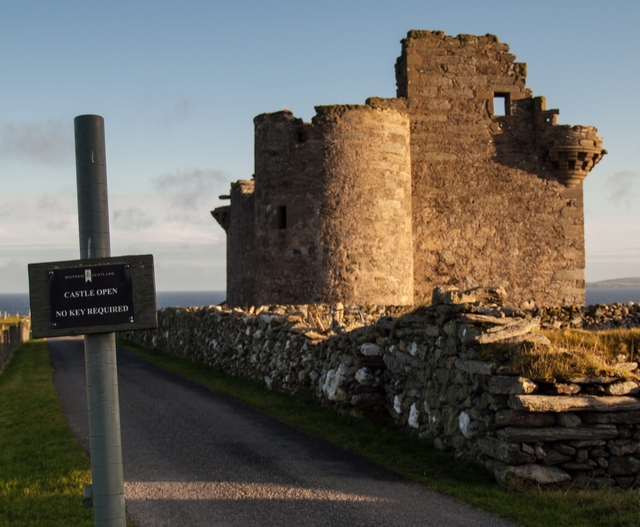
Alternatively, there is a footpath that cuts off the corner and delivers you to Muness Castle and the small settlement of Muness.
|
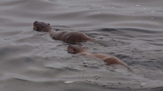
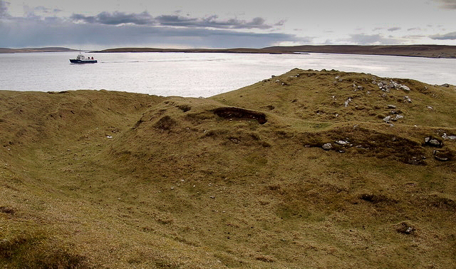
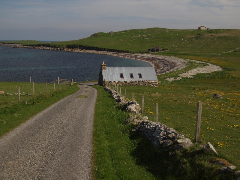
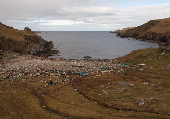
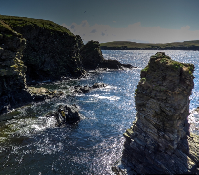
Sandwick to Mu Ness (and Muness)As you start to walk along the banks on your way to Mu Ness, you have to make a decision about the precision of your walk. The journey to Mu Ness has many small inlets called geos. These can be handy places to see an otter and mooch about at low tide to do some rockpooling. However, you probably won't make much progress unless you step back up the shore and take a more direct route.
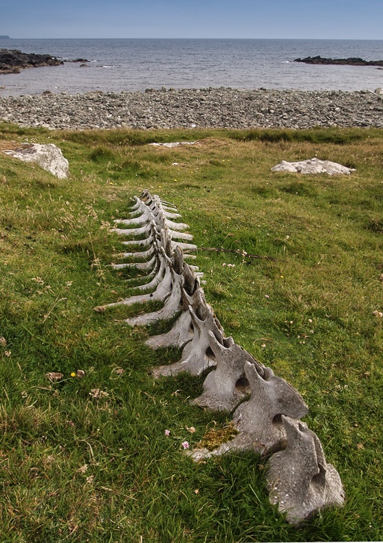
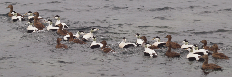
The geos lead you to a little cobble beach and the coast leads you around Mu Ness where you will find plenty of Shag and occasionally, interesting dead things washed up at Brei Wick.
|
|
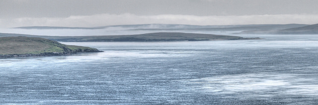
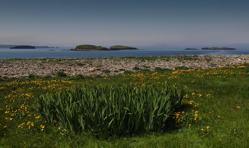
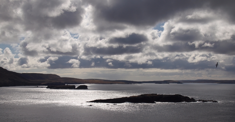
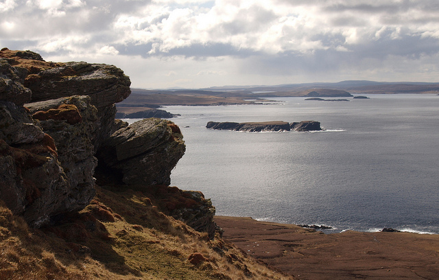
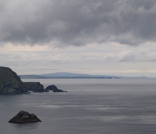
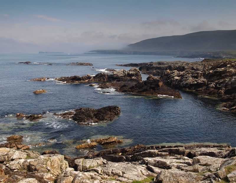
The walk then continues close to some exposed, rocky shores and a few more geos until you get to the Ness of Ramnageo. There is a tempting short cut starting below the farm at Ramnageo but that would mean missing out a bit of coast and then you might also miss the small sandy beaches on the west side and the view across to the little archipelago that includes fetlar, Uyea, Haaf Gruney and little Wedder Holm. |
Mu Ness to RamnageoWhether you decided to walk around the coast of Mu Ness or step inland to Muness, you will need to end up at Scolla Wick, south of the settlement.
Haaf Gruney was used for grazing in the past but is now a nature reserve protecting breeding storm petrels from cats and rats! |
|
It probably doesn't help if I tell you that there were two shops in Uyeasound when we first came up to Unst. Lucky then that you packed those extra sandwiches.
|
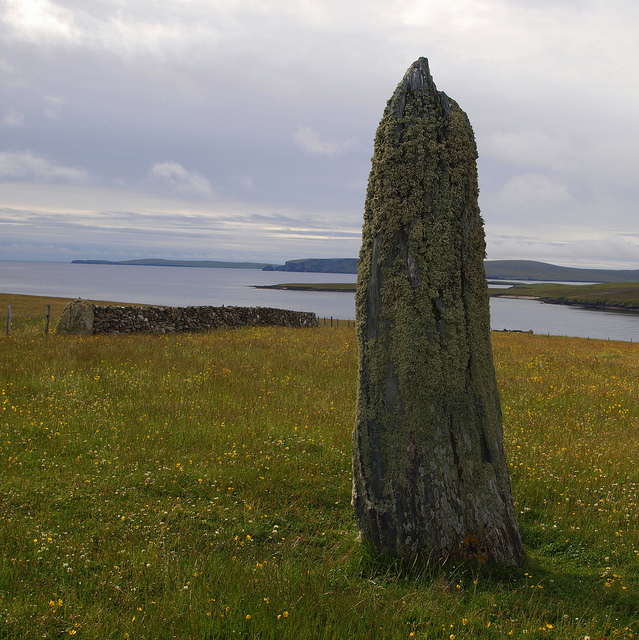
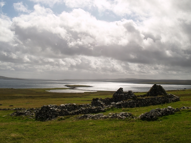
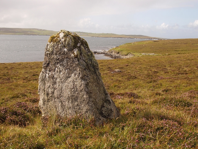
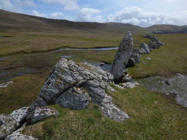
Ramnageo to UyeasoundThe walk continues above relatively low banks and with a couple of standing stones to seek out. If you look across to Uyea you should be able to see the remains of a rather grand house and as always in Shetland, there are also signs of much earlier habitation.We sometimes walk up to Littlegarth, and then take a track to meet the road and bail out back to Hannigarth by turning right at a small quarry. The quarry may have originally provided stone for road construction but now provides a welcome hole in the ground to dispose of various things. There is a second track at Mid Field which goes more-or-less directly to the house. It is worth pointing out that the track also goes more-or-less directly through a bog!Anyway, we have already established that you are not the sort to take short cuts back to the warm dryness of Hannigarth. Following the coast, you will find yourself directed past a relatively new pier which services the salmon fishery and then on to the road to walk past Easter Loch and Scata Water. This takes you past the village hall to the public toilets (at last!) to then rejoin the coastal walk just past Gardiesfauld Hostel. |
|
|
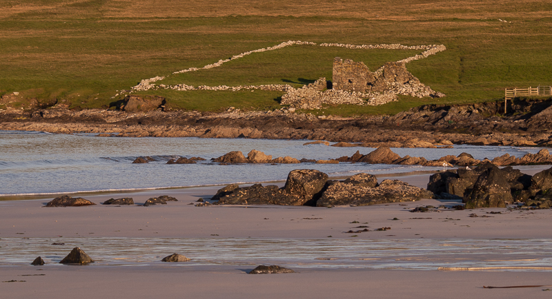
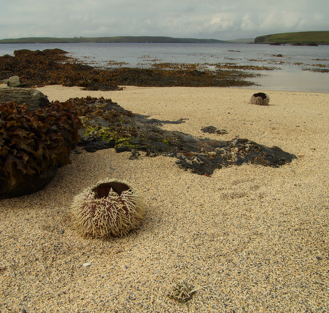
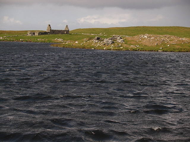
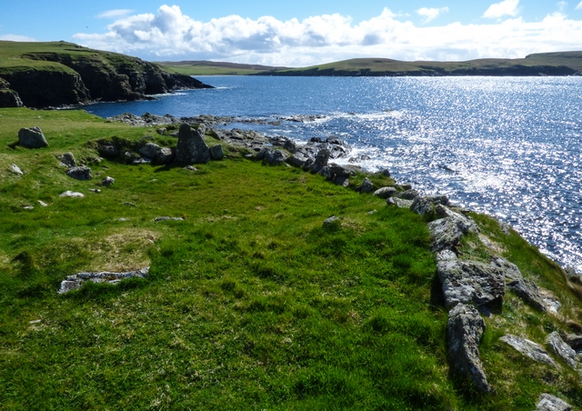
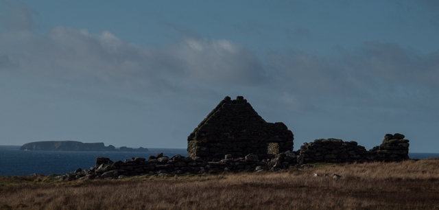
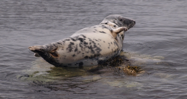
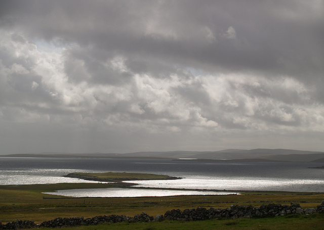
Uyeasound to BelmontThe walk from Uyeasound to Belmont is one of our favourites because the shore is accessible all the way round and there is plenty of opportunity for mooching around looking for crabs and sea anemones etc. This is also good, otter watching country.If the tide is right, you can cross Holm Sound onto the Holm of Heogland. The map shows that there is a cairn on it but I am not sure if we have ever found it.It is tempting to go inland from here onto Gallow Hill but you should wait until you get to Belmont because there is better access onto it and you get to check out a Norse Farmstead and hunt (often unsuccessfully) for a chambered cairn. |
|
|
Don't forget to look behind you periodically, a bit of interesting weather can creep up on you unexpectedly. |
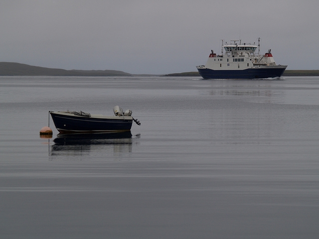
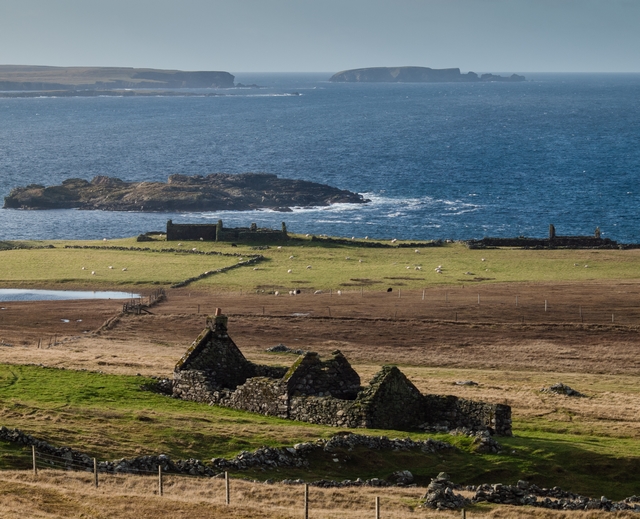
Belmont to SnarravoeBelmont provides you with some interesting options.You can use the ferry to leave Unst. In general this is a bad idea but I accept that it is also inevitable. You can gaze jealously at the restored Georgian house overlooking the Wick of Belmont; dreaming how nice it must be to have a shower and Georgian furniture and a proper walled garden.Walk along the beach and then wander about on the remains of a pictish Broch, wondering what life was like in the first century A.D.Or, you can get a move on and keep walking north until you get to the little beach and settlement of Snarravoe and marvel at the field system around it. You might also like to see if you can spot the electricity cable bringing a continuous flow of electrons to Unst from Yell across Bluemull Sound.
|
|
Finally, follow the coast up to Blue Mull and marvel at the cliffs and fantastic views north whilst bemoaning the loss of the Puffins and Kittiwakes that used to inhabit it. |
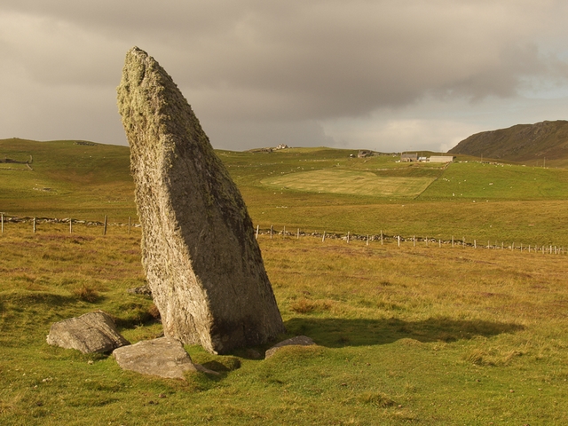
Snarravoe to LundThis next section has lots of stuff to see but no logical route to make life easy. So, on your way to Lund, here's your challenge ...Walk inland to find the Loch of Snabrough and the Broch that gives its name.Carry on east to find the Loch of Bordastubble in the hope that a red-necked phalarope might have taken an away day from Fetlar.Take the track to meet the minor road to Lund and wonder at the standing stone by its side.Nip back to the coast to find another standing stone next to one of the geos. Sadly I cannot tell you which geo. I have a suspicion that it is a magic stone that flips between two states; easy to find and invisible. |
|
Continuing the walk along the beach, you cross the stream by a wooden bridge and then climb up the hill to Underhoull with its sandy beach, Norse farmsteads, Broch and excavated Norse longhouse.The walk along the coast takes you past some rather nice beaches, stacks and yet another Norse longhouse (although I am not sure exactly where) until you reach Westing with its many islands and the end of the road (literally) but not the end of the walk! |
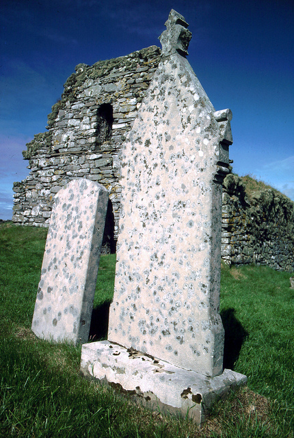
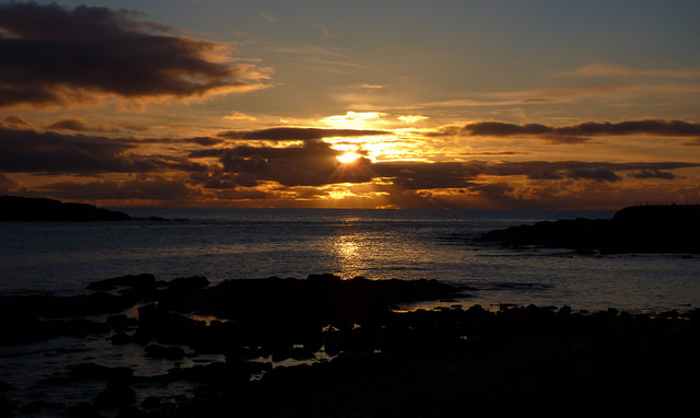
Lund to WestingLund beach is brilliant! It has a small stream for dam-building practice, the sand is silvery and its grains are just the right size to stick on wet feet and legs for at least 2 days. There is a ruined Kirk - Saint Olaf's Chapel with proper early mediaeval grave markers and proper spooky churchyard lichens. There is an interesting rocky bit in the middle of the beach for you geologists and a second stream that you can follow upsteam to find the remains of a small water mill.There is also a huge car park so if the weather is "a bit wet", you can abandon the walk and sit in the car, eating your cheese sandwiches, still able to see quite a bit of the church and beach. Not that I am suggesting that this is the way to explore Unst but I am also not advocating that you should walk in all weathers.
|
|
We sometimes walk away from the coast to climb up Valla Field and get a more panoramic view of the west side of Unst. |
Westing to CollasterWesting beach may not be sandy but it definitely gets the prize for "beach with interesting small islands" and also the award for "helpfully named beach with dramatic sunsets". Second place goes to Sandwick beach (also called Easting beach) due to its "beach with just the right sort of sand and THE place to be at sunrise". Sadly, Lund beach only gets third place with "nice sandy beach with interesting mediaeval place of worship". Comments from the judges explain its low overall score - "The design team did well but failed overall because the sunset is completely in the wrong place."However, don't forget that other beaches are available.Anyway, the walk continues along the shingle beach and past North Booth. The path has more or less fallen into the sea in places so take care and consider walking across the field. From that point on, the walk to Collaster is flat and easy if somewhat boggy.
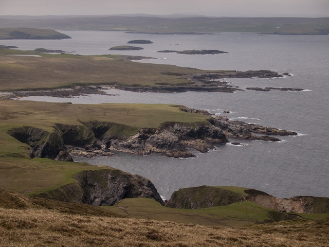
Looking north makes it obvious that this is where contemporary human habitation stops and from here to Hermaness you are alone. Well, apart from the sheep, weather, birds, plants, seals, porpoises and selkies. I am not saying that you won't meet other humans, its just that it is very unlikely. |
|
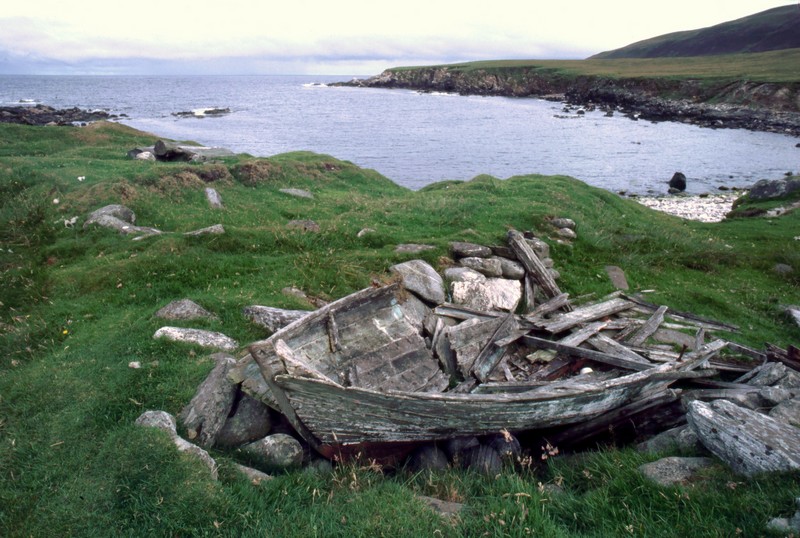
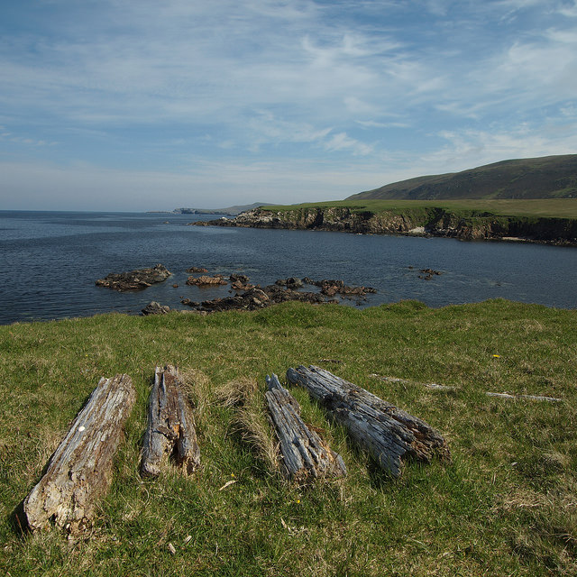
You will know when you get to Woodwick. It is the place where driftwood goes when it has had enough of floating aimlessly in the Atlantic. |
Collaster to WoodwickThe shore becomes properly cliffy with more Geos than any sane person could desire and few signs of present or ancient homesteads.This stretch seems as far away from human habitation as it is possible to get. However, remember that a brisk climb along and over Valla Field and you will find yourself in Baltasound.
|
|
I have now added it to my "never do that again" list. It is quite a long list. Crossing the Taing is very near the top. Just below "disagreeing with Jane".
The two pictures nicely show the effect of winter on Unst vegetation. |
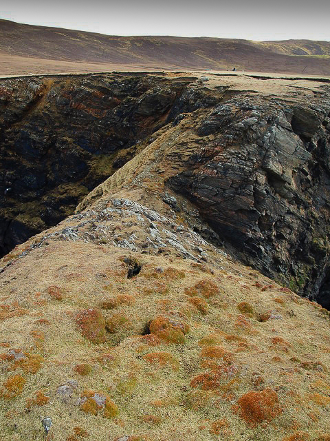
Woodwick to SneugaCarry on walking north from Wood Wick and you will find yourself at Flubersgerdie. Yet another opportunity to marvel at the ancient world of Unst. The first thing you are likely to notice is the remains of a stone dyke that would have effectively separated Flubersgerdie from the rest of Unst. In short it is "a large curvilinear enclosure" constructed from some very big stones which suggests something more defensive than just keeping the livestock from wandering.There are suggestions that it may have protected a promontory fort on the narrow tungue of land between the two Geos of Brough. The picture below shows the narrow and frankly, scary access to the Taing of Brough. It certainly looks like a very good defensive position.
|
|
If you don't intend to carry on to Hermaness from here, the Milldale Burn will take you to Loch of Cliff and Burrafirth. It's a bit boggy but you must be used to it by now, surely. |
Sneuga to TongaOnce you walk on from Sneuga to Libbers Hill, the cliffs go back to being big and scary and the land boggy. Libbers Hill is your next challenge. It is unfortunately rather too close to the coast and steep-sided which means that you may decide to head inland for your own safety. Climbing the hill does provide you with some great views (and a subtle mix of aerobic and anaerobic exercise). If you are one of those people who "bags" hills then Libbers Hill is worth bagging.Tonga itself provides you with a great view down the coast and on the way, you might be able to find Goturm's Hole. Sadly, I never have.
|
|
|
... and with that happy thought, you have reached your destination.
Click here to magically transport yourself back to the start. |
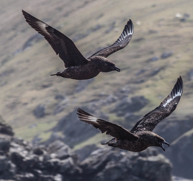
Tonga to HermanessTonga is pretty close to Hermaness and so as you walk north, the banks stay big and you will start to see Bonxies and Gannets aplenty.You might also see some puffins depending on the time of year. However, you won't see anything like as many as in the past. Which is a shame.
|


Richard and Jane King - 28/8/2019